
News from the lab
The latest news and updates from CompGeoLab members.
-
Congratulations to MSc Arthur Siqueira-Macedo 🥂
Last Friday, Arthur successfully defended his dissertation, earning the title of MSc in Geophysics! The examination committee had lots of questions which Arthur handled really well, demonstrating... -
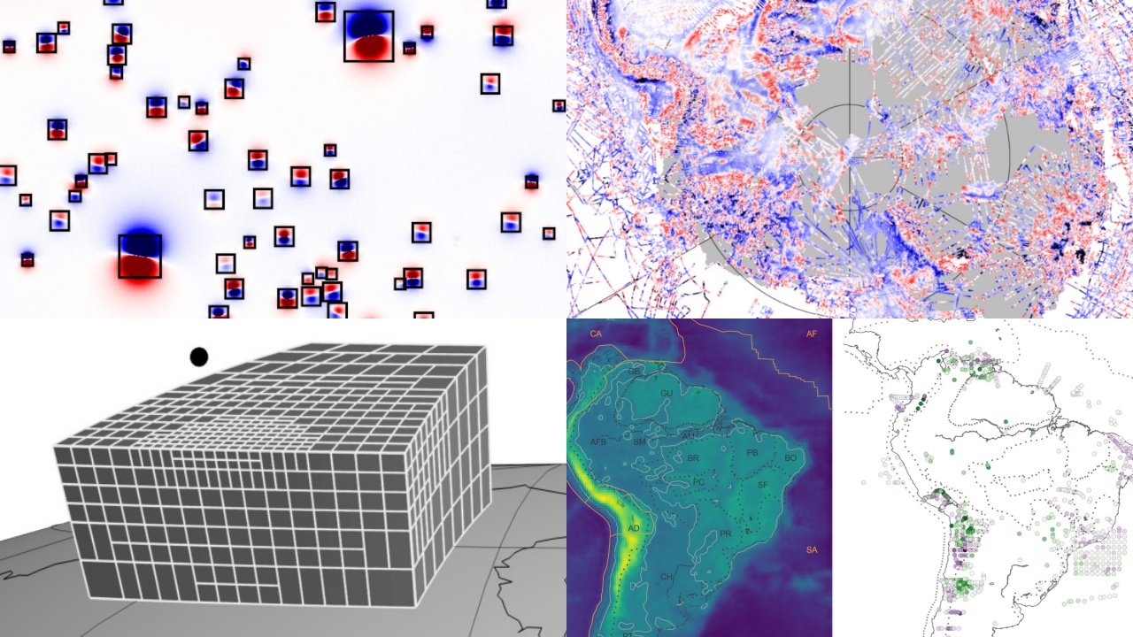
A 2025 retrospective of the CompGeoLab
2025 is drawing to a close and I’d like to end it with a brief retrospective of all that happened in the Lab this past year. Overall, it was a great and productive year, with some ups and downs,... -
Leo is awarded the degree of Livre Docente (Dr. habil.) from USP
I’m very happy to share that last week I was awarded the degree of “Livre Docente” (Dr. habil.) from Universidade de São Paulo! This is the highest degree that one can earn after a PhD. In many...
More news items can be found in: News and lab updates.
About us
The CompGeoLab is a research group based at the Universidade de São Paulo, Brazil. We are experts in solving inverse problems in the field of Geophysics, particularly in gravity and magnetic methods (AKA potential-field methods). Inverse problems are the means by which geoscientists image the inside of the Earth and other planets. For example, we are able to determine the inner density distribution of the Earth from measured disturbances in the Earth’s gravity field. We are also champions of open science and reproducible research. All of our teaching and research efforts are symbiotic with the development of open source software for geoscience.
Want to work with us? Have a look at the Lab manual, which outlines our core principles as scientists and how we operate as a team.
Open source
Our team works on several tools and projects, both developed in-house and across the larger scientific ecosystem:
- Fatiando a Terra: A collection of Python tools for geophysics. The Fatiando tools are the heart of most of our research and teaching efforts. This is the main project on which we work.
- The Generic Mapping Tools: One of the most widely used and loved open-source software in the geosciences. Our team contributes to both GMT and the PyGMT library which brings all the power of GMT to the Python stack.
- Tesseroids: A collection of command-line programs for modeling the gravitational potential, acceleration, and gradient tensor. Tesseroids supports models and computation grids in Cartesian and spherical coordinates.
We also publish all of the code and data needed to reproduce our projects on our GitHub organization.