Our research
We focus our efforts on creating and applying new methods for 3D modeling and data processing, mostly for gravimetry and magnetometry (AKA potential-field methods). Below, you’ll find the main research themes that we pursue.
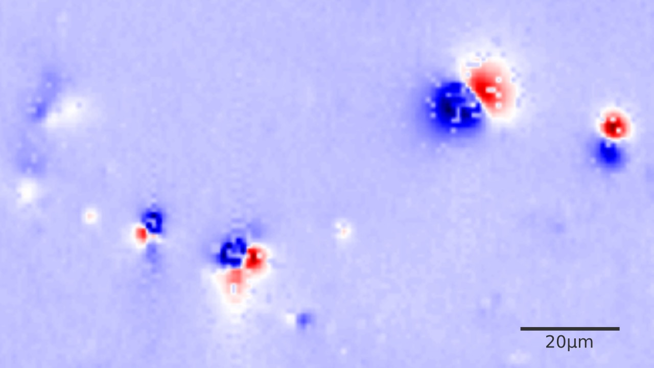
Magnetic microscopy
The magnetization that gets locked in some minerals (known as ferromagnetic minerals) at the time of their formation is one of a few gateways we have into the Earth’s distant past. So far, researchers have mostly only been able to make bulk measurements of magnetization from collected rock samples. Emerging magnetic microscopy technology is now allowing us to image thin-sections and distinguish the magnetic fields of the individual minerals that make up the rock sample.
Our group is collaborating with experts in paleomagnetism to develop new methods and software for data processing and interpretation, unlocking the huge potential of these exciting new datasets.
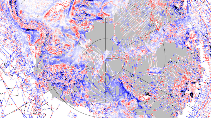
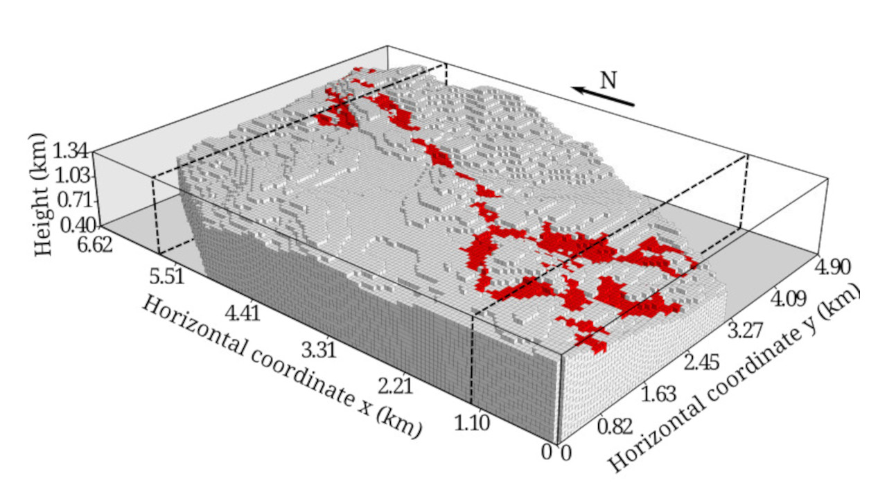
Antarctic geophysical data
Antarctica is a vast and poorly explored continent that is suffering greatly from the impacts of human-induced climate change. Geophysical data are crucial to understanding how Antarctica’s ice sheets will respond to climate change and how the Earth’s crust rebounds upwards once ice mass is displaced, influencing sea-level rise.
We are working hard on improving the way that airborne and satellite gravity and magnetic data from Antarctica are processed and merged, aiming to reach the highest resolution possible from the data.
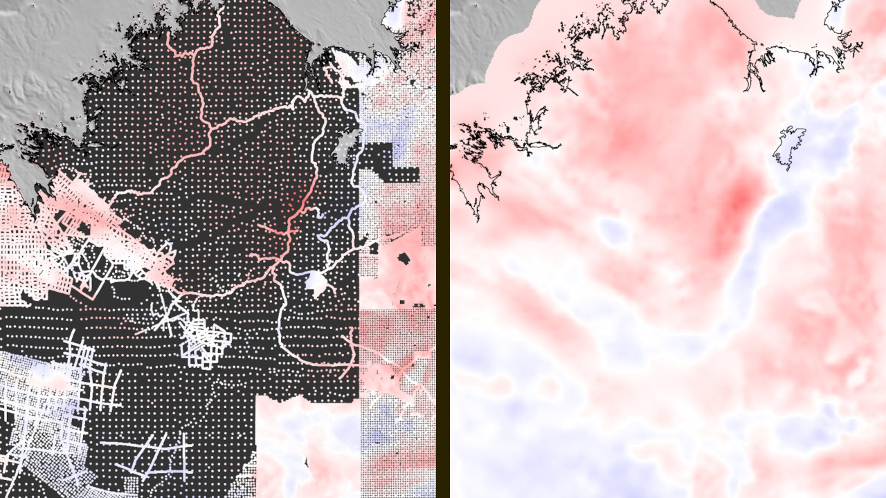
Geophysical data processing and interpolation
It’s undeniable that a machine learning frenzy has taken over the world. Geoscientists have been doing similar things for decades, for example the equivalent sources technique in gravity and magnetics and spline interpolation are basically supervised-learning methods. Given the many similarities, it makes sense to apply and adapt machine learning techniques and best-practices to these geophysical problems.
At the lab, we are employing machine-learning methods like ensemble techniques and cross-validation to overcome key computational challenges in equivalent-source methods and data interpolation (AKA gridding).
3D geophysical inverse problems
Our ultimate goal as geophysicists is to understand the inner structure and dynamics of the Earth from surface observations. This is a tough mathematical and computational problem: it’s an ill-posed inverse problem, to which a solution might not exist, not be unique, and not be stable.
We develop methods to overcome these challenges and solve different kinds of inverse problems that arise in geophysics.
Our work on this theme:
Forward modeling gravity and magnetic data
A key component for solving an inverse problem is first solve the forward problem (predicting observed data from a known model of the subsurface). This is often a challenging problem to solve, both mathematically and computationally. Having a forward model that is both accurate and performant is the key to a reliable solution to an inverse problem.
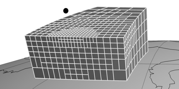
One of our earliest research themes is the development of methods and software for modeling gravitational fields caused by a tesseroid (a segment of a sphere). This is a surprisingly difficult task but is crucial to model geology at continental and global scales. We also produce software that can model different geometries, like points, spheres, prisms, polygons, etc.